Energy & water

Future-proof energy and water networks through geospatial and data-driven network models
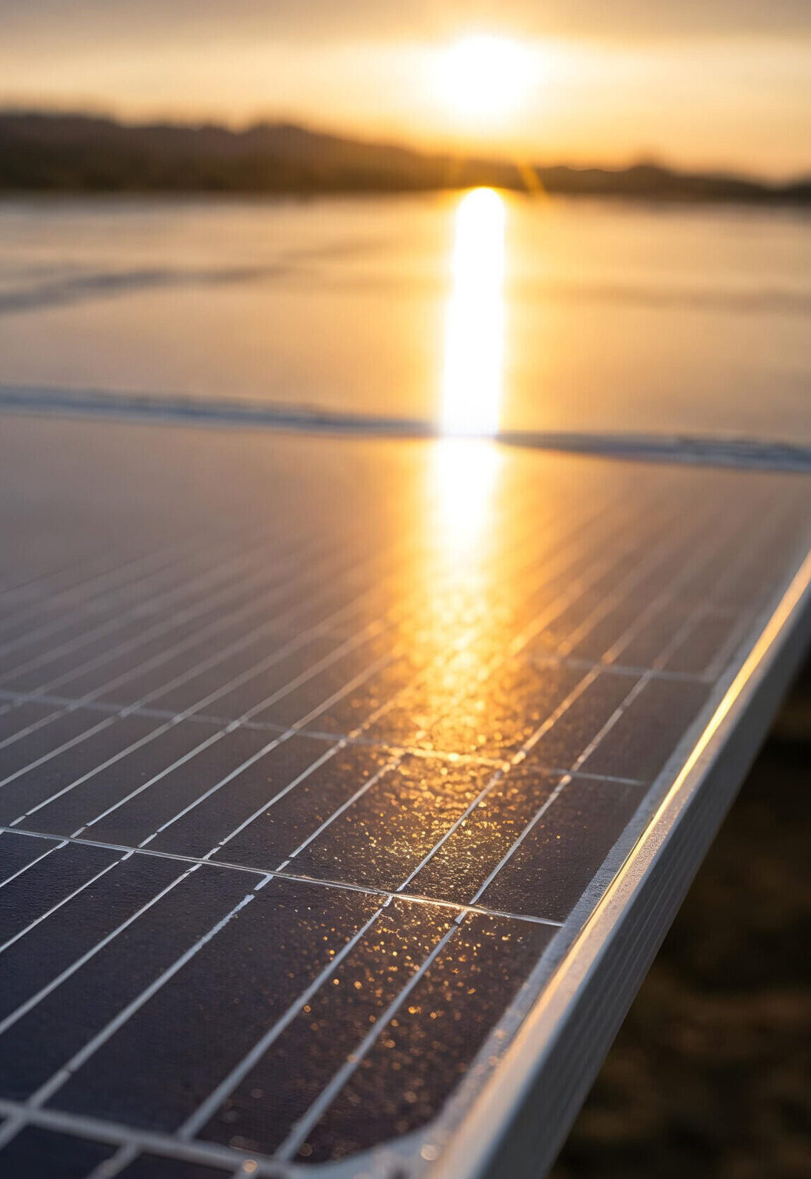
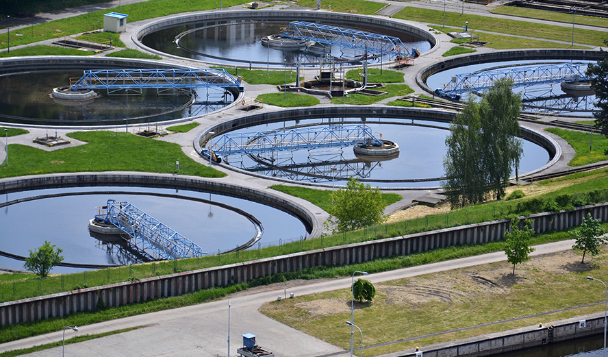
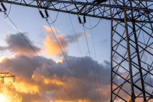
Solar panels, heat pumps, batteries, and electric vehicles are rapidly transforming the energy landscape. At the same time, water utilities face scarcity, aging infrastructure, leaks, and extreme weather conditions.
One crucial question arises:
How can you make confident decisions when your network data is inaccurate or incomplete?
This gives you instant visibility into asset locations, potential risks, and priority actions. You can plan maintenance proactively, adjust investments, and truly future-proof your network.
Your challenges as an energy & water operator: one network, many risks
Energy and water networks are under increasing pressure: electrification is booming, water is becoming scarcer, and availability is less predictable. Without reliable insights into your network data, it becomes impossible to invest strategically, mitigate risks, and ensure continuity.
Solar panels, heat pumps, EVs, and batteries create new, local peaks on the low-voltage grid. Without an accurate electrical model, it’s a guessing game where to reinforce, manage, or invest.
Flexibility, storage, and new consumers require up-to-date, consistent data from the field to the control room. Only with a reliable network view can you simulate scenarios and proactively manage your grid.
Leaks often go undetected for too long due to poor or incomplete data, while climate change brings both drought and sudden downpours. Without a clear network model, it’s difficult to identify vulnerable areas and set priorities.
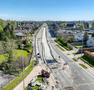
Aging infrastructure and missing as-built information make it difficult to plan strategic investments. A single source of truth is essential to support decision-making and future-proof your network.

Whether it’s energy or water, without reliable spatial insight you’re always putting out fires. With geospatial technology, you can finally invest strategically and truly future-proof your network. We’re proud that nearly all Belgian network operators rely on our expertise.


How Merkator helps: one seamless chain from field to back office
Reliable network data requires technology, clean data, and the right expertise. Merkator brings all of this together, ensuring information remains accurate, complete, and consistent from the field to the back office.
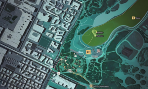
We use GIS and geospatial technology to model networks, perform analyses and simulations, and build digital twins for planning and operations.
More about our softwareWe migrate, consolidate, and cleanse geodata, standardize building, address, and asset data, and connect with sources such as KLIM, KLIP, KLIC-CICC, GIPOD, Powalco, and Osiris. This creates a single, reliable network model.
Together, we define a future-proof network model, set up a Digital Twin, and organize data flows between the field, engineering, and operations—ensuring a seamless process chain.
Merkator Group offers consulting, implementation, integration, training, and ongoing “keep it running” support. One partner who knows your network and ensures everything keeps running smoothly.
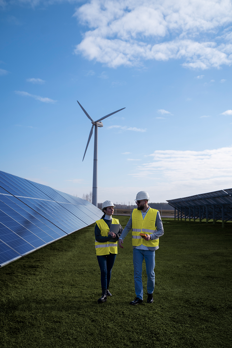
Why energy & water Network Operators choose Merkator
Energy and water networks are becoming more complex, digital, and critical than ever. That’s why you need a partner who understands both your infrastructure and your data—and who connects the entire chain from field to back office. Merkator combines geospatial expertise with years of experience in utility networks, enabling you to plan, invest, and operate with confidence.

Market knowledge
Decades of experience with pipelines, utility networks, regulations, and complex GIS environments mean we speak from practice, not just theory.

Vendor-independent
We’re not tied to any single supplier. We select the technology that best fits your environment—and know it inside out.

We connect the
entire chain
From field inspections and surveys, through design and engineering, to as-built documentation, management, and reporting: one seamless geospatial chain without any breaks.
Better decisions based on robust data
With strong geospatial data and guaranteed data integrity, your network becomes a source of insight rather than concern—eliminating errors between the field and back office.

The added value of geospatial for energy and water networks

Stay up to date!
Never miss the latest news and most current updates. Be the first to discover new articles, inspiring stories, and important developments. Click through and stay informed!

Let’s start the conversation.