
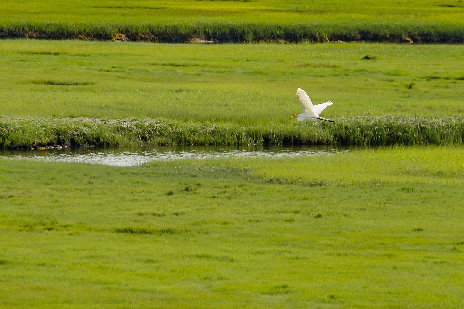
Smart Water Management in Wallonia Enabled by Geodata

The Walloon public service SPW engaged GIM to collect missing information about the banks of non-navigable waterways. The goal is to achieve optimized management of these watercourses through an intelligent, automated, and scalable tool that generates detailed maps based on terrain analysis.

The challenge: addressing the lack of data on the banks of non-navigable waterways
Within SPW (Public Service of Wallonia), the DCENN (Directorate of Non-Navigable Waterways) is responsible for the sustainable management of Wallonia’s non-navigable watercourses, taking into account their hydraulic, ecological, economic, and socio-cultural functions.
The DCENN faced a significant challenge: the lack of accurate data regarding the location of the banks of these waterways, which made it difficult for managers to effectively implement planned measures.
Xavier Legall, Attaché at DCENN, explains: “We needed a complete overview of the extent of non-navigable waterways across the entire territory.” Following a public tender, GIM’s proposal was selected. “GIM presented a detailed and coherent approach. Their experience in cartography, geodata, and automated digital tools, along with their strong references, convinced us.”
The solution: accurate, automated digital maps based on terrain analysis
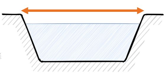
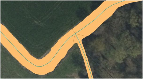
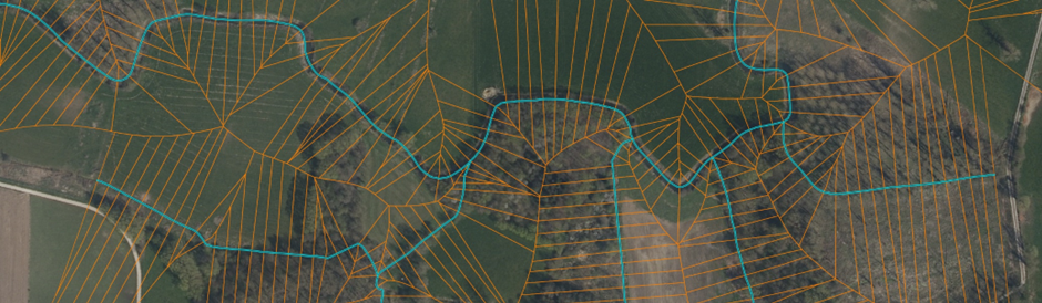
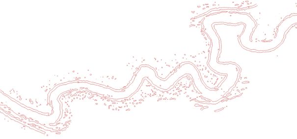
The proposed solution utilizes a digital terrain model (DTM) derived from LiDAR data. According to Xavier Legall, this approach offers many advantages. “By using GDAL and SAGA scripts, as well as FME Desktop workspaces, the application allows us to interpret the terrain’s relief using detailed data that describes the course of the waterway. Additionally, each riverbank can be precisely delineated based on the slope gradient.”
The tool also includes intelligent features to detect areas where it is impossible to determine the location of waterways based on terrain relief, and to replace these with a fill surface generated from adjacent parcels. This solution can be applied at the level of the Walloon Region or to a specific area for local updates. Moreover, it is scalable, as it can regularly integrate updates to input data and new functionalities. “At any time, we can adjust the tool ourselves and adapt the automated process to our needs.”
The result: more sustainable and responsible management
“Our application goes beyond just digital maps,” says Xavier Legall. “We are convinced that the generated data will contribute to a more efficient implementation of environmental measures and the Common Agricultural Policy.”
“The collected information is valuable for optimizing waterway maintenance, as well as for innovation projects, riverbank management, and estimating maintenance costs. This application can also accurately delineate public spaces around waterways and provide data for various European reporting requirements.”
“Moreover, Wallonia now has a tool to update the course of waterways in the event of changes in spatial planning.”
Xavier Legall is satisfied with the collaboration. “The GIM team was flexible, always listened, and responded quickly. Thanks to their agile approach, we were able to make well-informed decisions throughout the project, which greatly contributed to its success.”
In addition, SPW has identified new opportunities for collaboration. “Several associations have already shown interest in using this new geographic data to support water quality initiatives and to reduce the risk of pollution from nitrates and crop protection products.”
“Thanks to the data collected by our new tool, the management of waterways in Wallonia is now more accurate, efficient, and environmentally friendly.” — Xavier Legall, Attaché at DCENN (SPW)