Geodata for 100% positive impact on society and the planet


Sustainability within Merkator Group
- finding the best locations for renewable energy,
- detecting leaks in water networks,
- mapping the energy consumption of buildings,
- designing energy-efficient and biodiversity-friendly public lighting,
The power of geodata in the transition
We help our customers operate not only more efficiently, but also more responsibly and with a long-term perspective. “Geodata for 100% positive impact” is our guiding principle: we deliberately focus on projects that deliver clear societal value.


Values as our guiding compass
Personal growth and collaboration play a major role in this. Values such as empathy, openness, expertise and progress guide how we interact with customers, partners and colleagues, and how we address sustainability challenges. We critically assess the projects we take on and give priority to:
Climate & energy
Projects that contribute to climate adaptation and the energy transition.

Liveable cities
Projects that improve the liveability of cities and towns.

Safe networks
Projects that make infrastructure and networks safer and more resilient.

Impact in practice
Within Merkator Group, there are numerous examples where geodata truly makes a difference. In all these applications, geodata is not a goal in itself, but a lever for positive change.
Maps of heat islands, air quality and soil sealing help cities take targeted measures to create cool, healthy and green neighbourhoods.
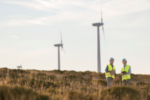
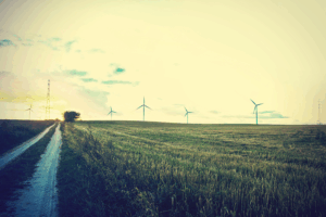
Geodata supports the search for suitable locations for wind turbines, solar panels and other renewable sources, with careful consideration for the environment, safety and return on investment.
By mapping networks and their surroundings in detail, leaks, risk areas and vulnerable infrastructure can be detected more quickly and managed more effectively.
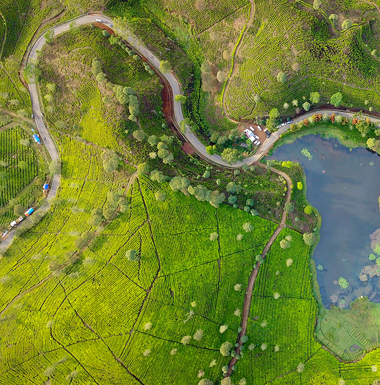
With digital representations of buildings, neighbourhoods and networks, we support sustainable choices in insurance, real estate, logistics, urban planning and energy.

Our corporate footprint
- How and where we work (mobility, offices, energy consumption)
- How we deal with diversity, well-being and the development of our employees
- How we collaborate with partners and suppliers
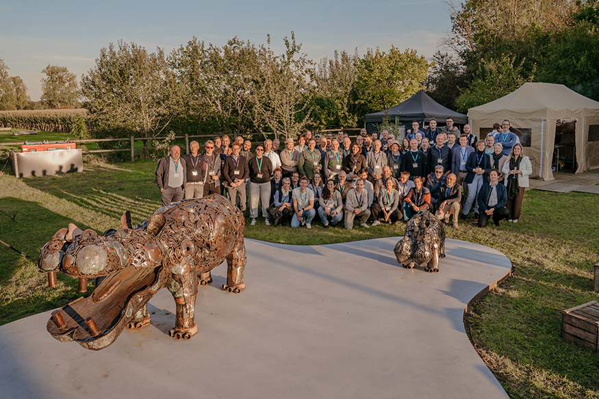
Stronger together
Discover how we use geodata to build sustainable cities
Curious how digital twins, smart maps and geodata can help tackle climate challenges, mobility and liveable neighbourhoods? Discover how Merkator Group works together with its customers to build smarter, greener and more resilient cities.