
The Flemish government calculates the optimal locations for wind turbines.

Where do wind turbines belong (and where don’t they)?
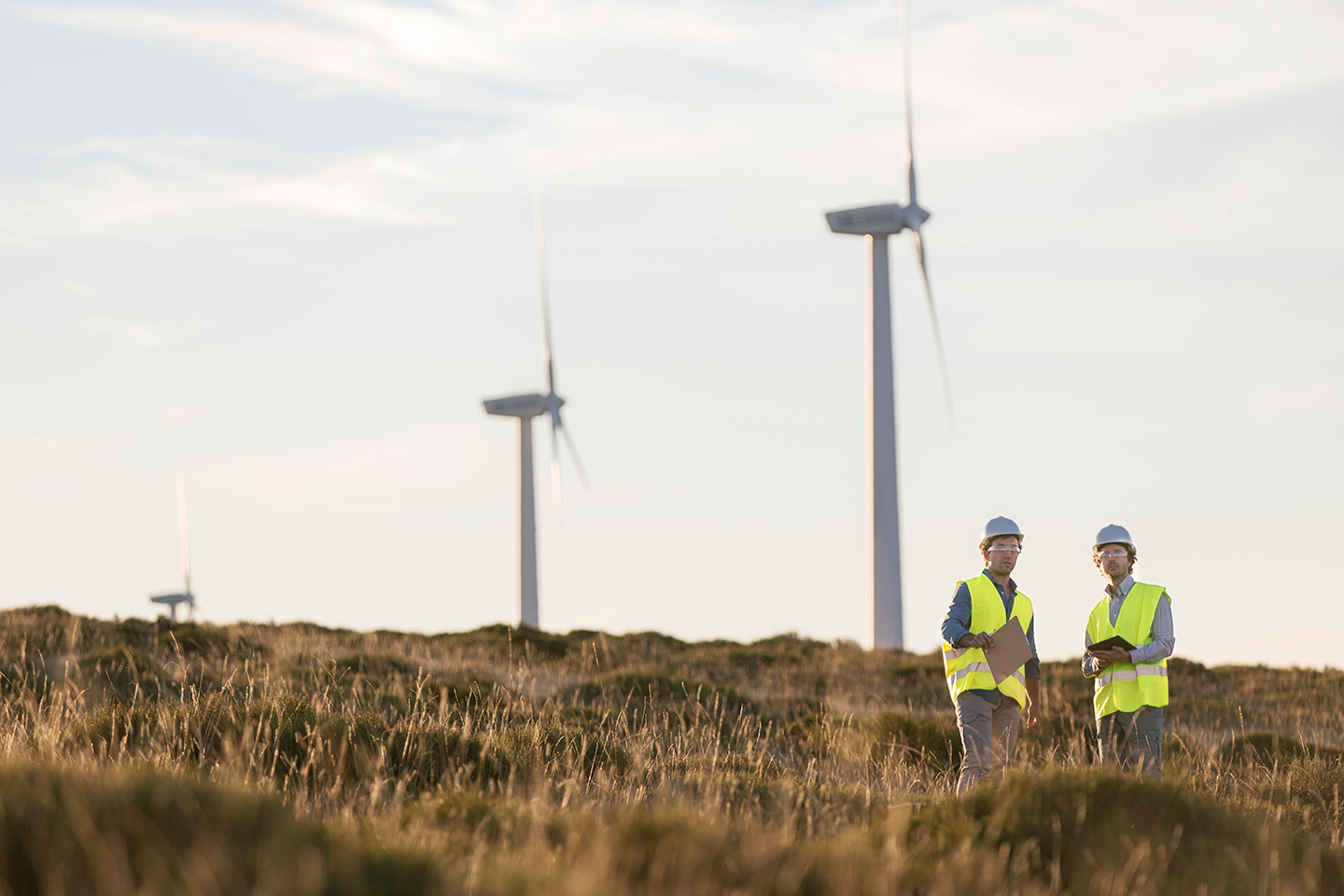
Three out of four Flemish citizens agree: we need to accelerate the transition to renewable energy sources like wind. But the key question remains: what are the best locations for wind turbines on the Flemish mainland? The Flemish government, together with GIM, has answered this question using geodata and FME technology.
The Challenge
As part of the European Union’s ‘Europe 2020’ strategy, the Flemish government aims to pave the way for more sustainable energy solutions in Flanders. That’s why, in 2015, it announced the arrival of hundreds of new wind turbines on the Flemish mainland with the policy note ‘Fast Lane for Wind Energy’ (now expanded into the ‘Windkracht 2020’ policy note).
Not every location is suitable for a wind turbine. To use space efficiently and ensure public support, numerous technical, ecological, economic, and social factors must be considered. However, the relevant data comes in many different forms and models, making it difficult to compare or integrate. To overcome this challenge, the Flemish government turned to the specialists at Merkator Group.
The Solution
Merkator Group developed a solution based on FME, a software platform particularly well-suited for integrating data from multiple sources. Using data from various zones, the tool employs specific and complex placement algorithms to calculate potential locations for wind turbines across Flanders.
The calculation tool processes geographic data in a range of file formats—from shapefiles to Excel spreadsheets—as input. The results are then cross-checked with locations in Flanders where the population would experience minimal disturbance from potential wind turbines. These sites can subsequently be used in impact analyses, which simulate the environmental effects of any proposed changes.

“With GIM’s FME tool, we can easily perform advanced spatial analyses and modeling. This provides us with clear insights for, among other things, the placement of wind turbines.”
Griet Goossens, Policy Officer at the Department of Environment, Flemish Government


The Result
With the new GIS calculation tool, employees of the Flemish government—regardless of their IT background—can process a wide variety of data without first needing to take a programming course. This allows them to focus directly on their core task: analyzing spatial data and calculating the best possible locations for future wind turbines in Flanders.
By holding regular feedback sessions with the Department of Environment of the Flemish government, Merkator Group succeeded in creating a “fit-for-purpose” tool tailored to the department’s needs.