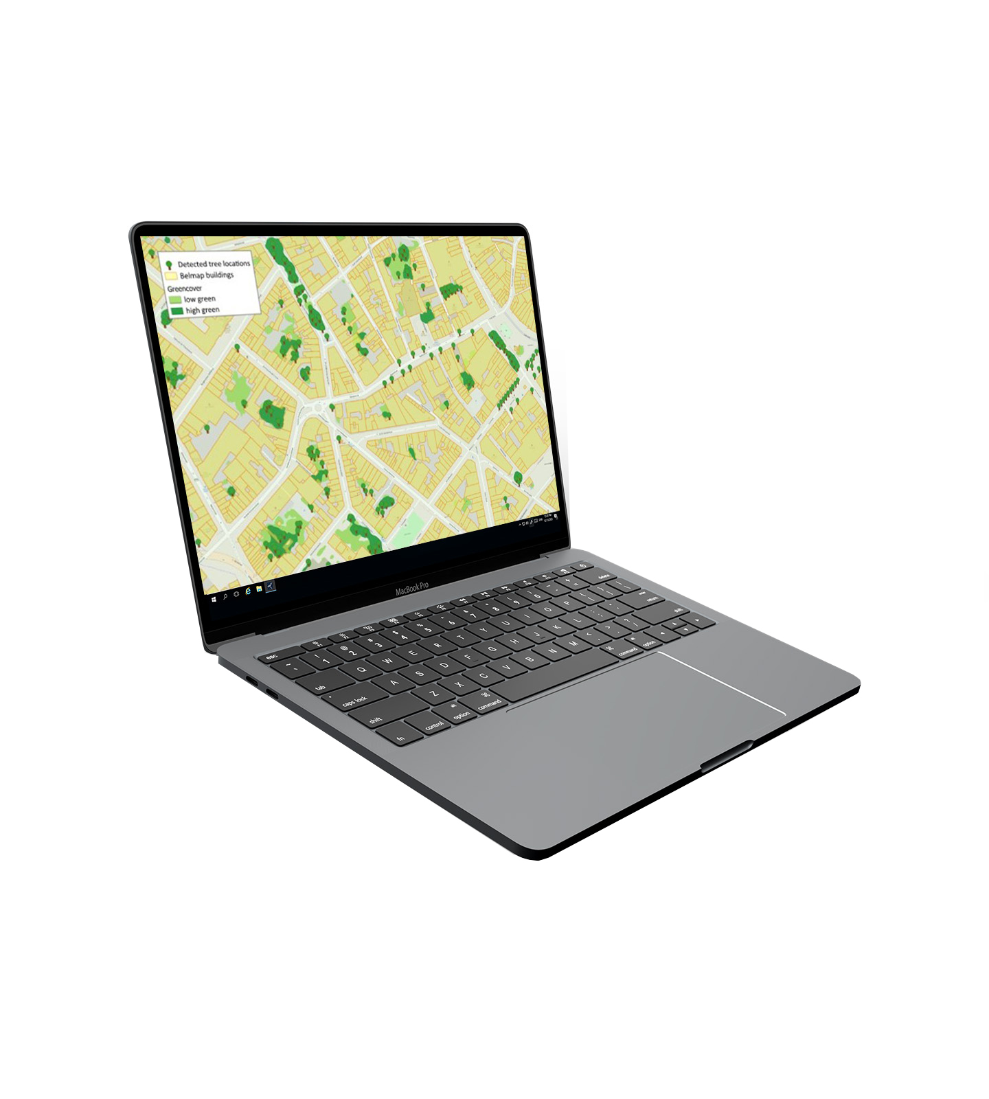
The tree register: One dataset for all trees


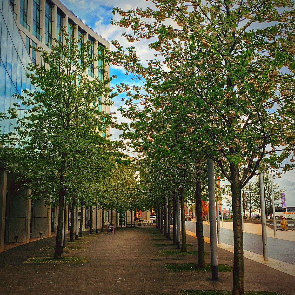
The Tree Register provides a complete, uniform overview of Belgium’s tree population. Using LiDAR analysis and AI image recognition, GIM maps the exact location and characteristics of every tree — with a resolution of 10 cm.
The Tree Register is a unique dataset that forms a powerful foundation for policy planning, monitoring, and reporting. It offers governments, planners, and organizations insights into green structures on both public and private land.
The Tree Register also supports the 3-30-300 rule: more trees visible from every window, more canopy cover in every neighborhood, and more accessible green space for everyone.
Why choose the GIM tree register?
- Complete and up-to-date tree data for Belgium
- High spatial accuracy (10 cm resolution)
- Uniform dataset suitable for integration with GIS and management systems
- Supports sustainable urban policy and climate adaptation
What are the applications of the Tree Register?
Detailed data on trees, trunk height, and crown size can be used in a wide range of applications:

Governments
Green policy and sustainable urban management, Climate policy and spatial analyses, Baseline layer for the 3-30-300 rule
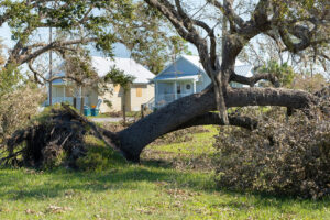
Insurance Sector
Better risk assessment for storm damage
Renewable Energy
Shadow analysis for solar panels

Contacteer An Heirman hierover (+32 (0)16 40 30 39 en ontdek hoe het bomenregister jouw organisatie kan helpen om keuzes te onderbouwen met solide data.