Use case – City of Binche


Digitizing Public Spaces with Eaglebe
About Binche

The Challenge: Complex Management of Public Space
- A constant stream of requests from citizens, businesses, and associations
- A lot of manual administration and follow-up
- Difficulty maintaining an overview of all temporary occupancies in terms of time and location
- Limited transparency for citizens and field workers
- Simplify the processing of requests
- Enable more open administration and transparency
- Better support safety in public spaces

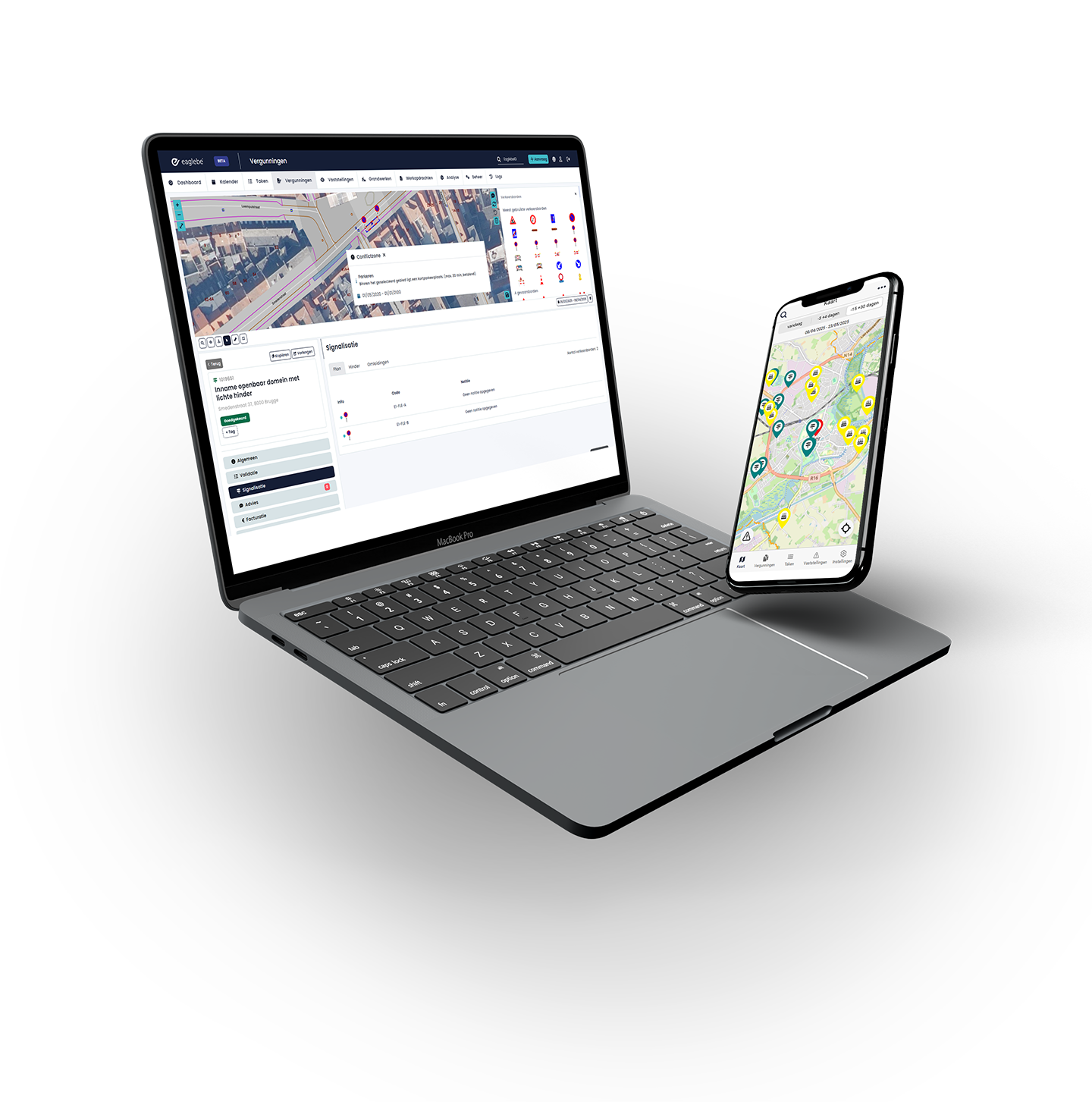
The Solution: Eaglebe as a Digital Nerve Center
- The administration saves time on case processing
- Citizens can track their applications in real time, see the current status, and request extensions themselves
- Field agents have access to a public map, making on-site inspections much easier
“It saves the administration a lot of time when processing applications, and it also has an impact on citizens. (…) Citizens can track their applications in real time, know what stage they are in, and even request extensions without having to contact the authorities during office hours.”

For the Administration
For the city administration of Binche, Eaglebe represents a fundamental simplification in managing public space. By digitizing the entire process around temporary occupancies, the administration gains better control over cases, decisions are more well-founded, and work can be carried out faster and more safely.

Reduced Administrative Burden
Case analysis is faster thanks to up-to-date information and built-in checks.

Faster Conflict Detection
The platform helps to quickly identify conflicting occupancies.

Improved Internal Collaboration
Different departments involved in managing the public domain collaborate within the same system, eliminating endless email chains.

Digital Approval
At the end of the process, the mayor can review the entire case file on their tablet, assess the impact on public space, and electronically sign police orders—a first in Wallonia.

For Citizens and Field Staff
Eaglebe also makes a clear difference for residents and field staff. Information about occupancies and works is now visible, up-to-date, and easily accessible, increasing transparency, safety, and efficiency in public spaces.

Greater Transparency
Citizens have access to a public map of occupancies and works, which is automatically updated.

Improved Safety Support
By accurately mapping occupancies and avoiding conflicts, decision-making around safety is strengthened.

More Efficient On-Site Inspections
Field agents use the same up-to-date information, making their work simpler and more focused.
Managing Change: From Paper to Digital
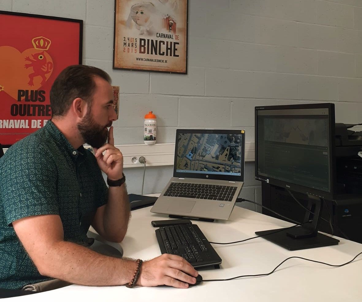
- A beta version was first used internally, allowing the administration to configure the software and become familiar with it.
- Procedures were tested, and colleagues were gradually introduced to the new way of working.
- Companies that had submitted applications in 2022 received a targeted email explaining the updated procedure.
- Citizens were kept informed in real time via phone, email, and the Binche city website.
- For two weeks, paper applications ran in parallel with digital files to ensure a smooth transition.