AI-driven data solutions

Rely on Geodata that takes reality seriously
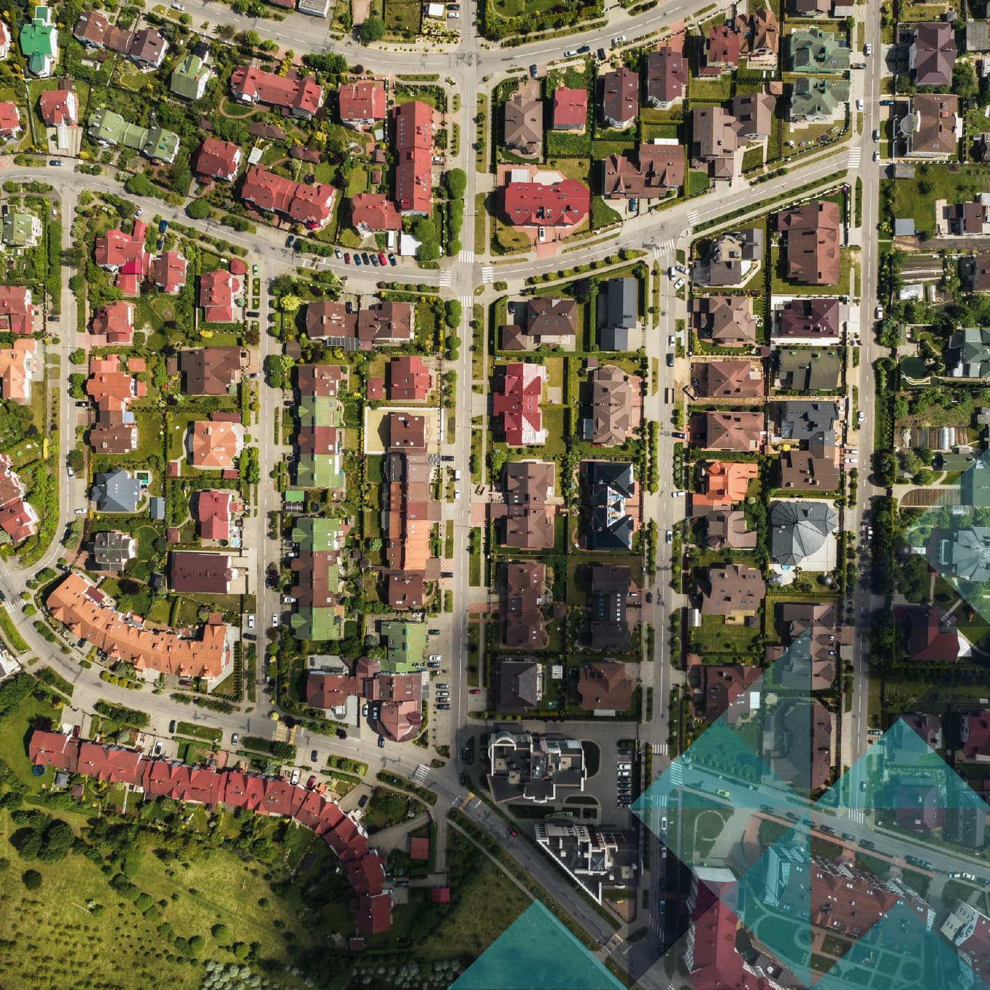
Insight is the foundation of every meaningful decision. Our Geodata provides an accurate and up-to-date view of buildings, addresses, and their spatial context. This way, you work not on assumptions, but on facts.
How can you make even better use of your data?
With our expertise in GeoAI and data engineering, we automate data flows, improve data quality, and build AI models that recognize patterns faster than ever before. The result: sustainable insights you can trust.
Schedule an exploratory meeting
Six modules. One platform. Choose what you need
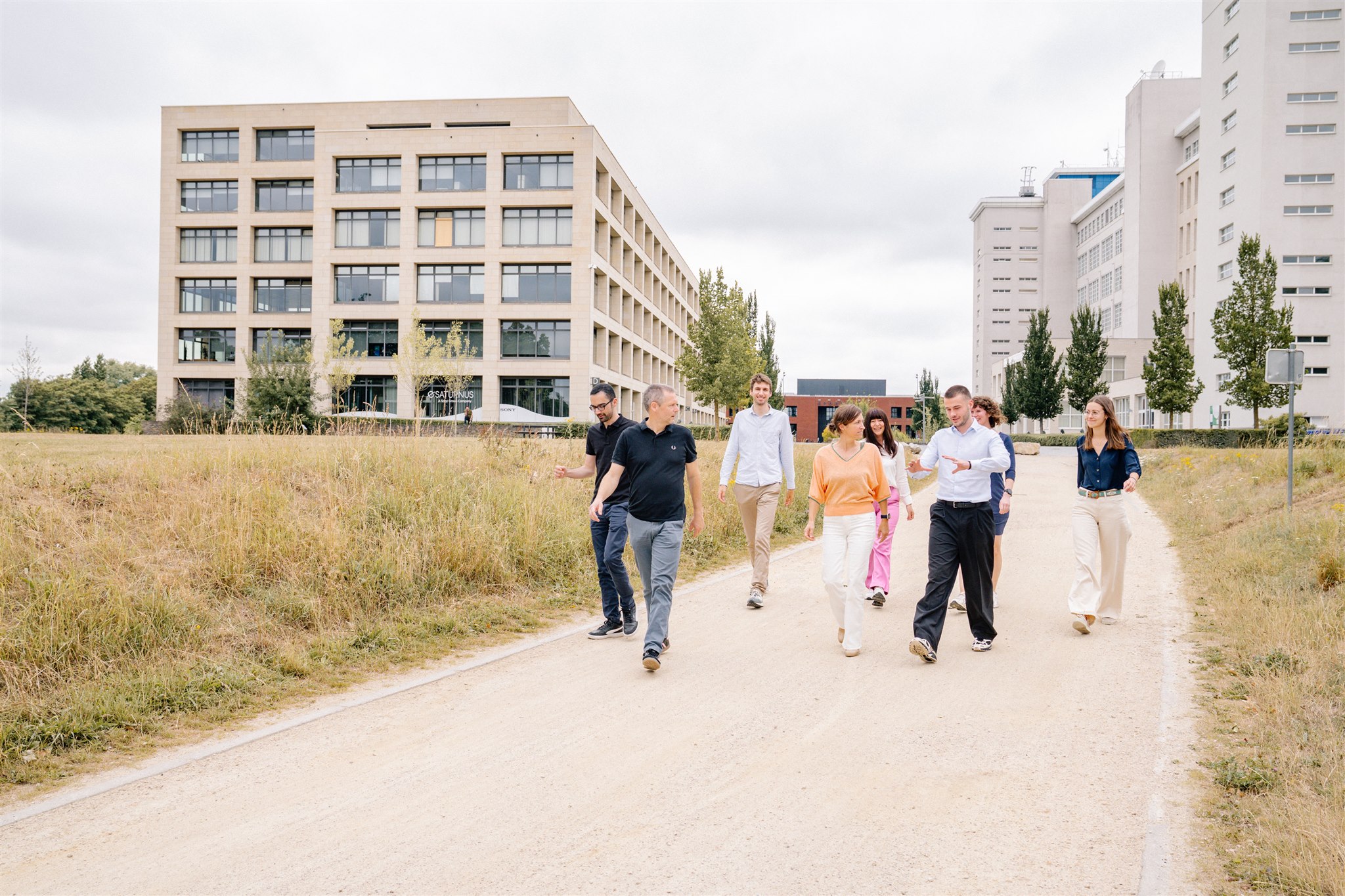
Whether you are connecting homes, underwriting policies, delivering parcels, or planning the energy transition, Zadu has a solution built around how you work.
Zadu Address Intelligence
Your hub for clean, smart, and map-ready address data that fits straight into your workflows.
>Zadu –Property Intelligence
Actionable intelligence for place-based decisions. Every day, your business makes crucial decisions tied to a place: a building, an address, and its surroundings. Zadu turns property data into clear, decision-ready intelligence you can act on.
Discover Zadu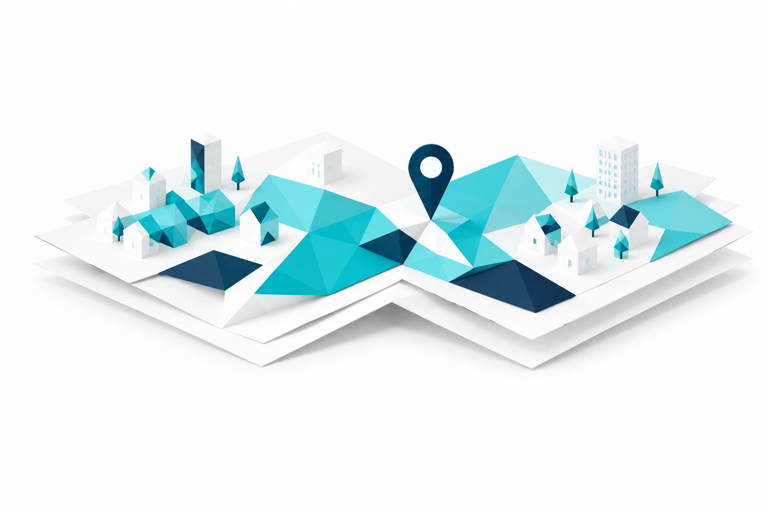
Get more value from your data
With our expertise in complex data workflows, we help organizations organize their data more effectively. As a result, information becomes available more quickly, is managed more consistently, and is easily shared between teams and systems.
GeoAI provides answers to complex spatial challenges by applying AI models to geographic data.
What can you use GeoAI for?
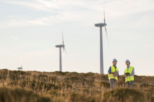
Inventory and analysis of buildings and their properties, inventory, management and monitoring of infrastructure, urban planning, and green space management. Our AI models reveal both the bigger picture and the details that make the difference.
Geodata engineering brings clarity to large volumes of data. It breaks down data silos and enables automated data flows between formats, systems, and teams.
The added value of Geodata Engineering for your organization?
Fewer manual actions, higher data quality, a single reliable source of truth, more efficient processes, and faster reporting. This way, data becomes a stable foundation for every operational and strategic decision.
Zadu really makes the difference. The data is complete and precise, and the team actively collaborates on solutions tailored to our start-up.


News and case studies
Stay up to date with the latest developments, real-world stories, and inspiration from the world of geo and digitalization. Discover how other organizations use our solutions and translate their experiences to your own projects.
Discover more use cases